
Benefits and Key Features
Why Industry Leaders Choose Us

Progress Tracking
Monitor every phase of your project with weekly high-resolution aerial updates and accurate site documentation.

Stakeholder Updates
Keep investors and partners informed with cinematic progress videos and professional documentation sets.

Safety Oversight
Enhance site safety with detailed aerial perspectives that help identify potential hazards before they become incidents.

Inspection Support
Simplify regulatory compliance and site audits with precise, georeferenced aerial imaging and thermal inspections.
LATEST DEPLOYMENTS

American West Heritage
Project Summary: Comprehensive site documentation and weekly progress tracking for their new barn
.jpg)
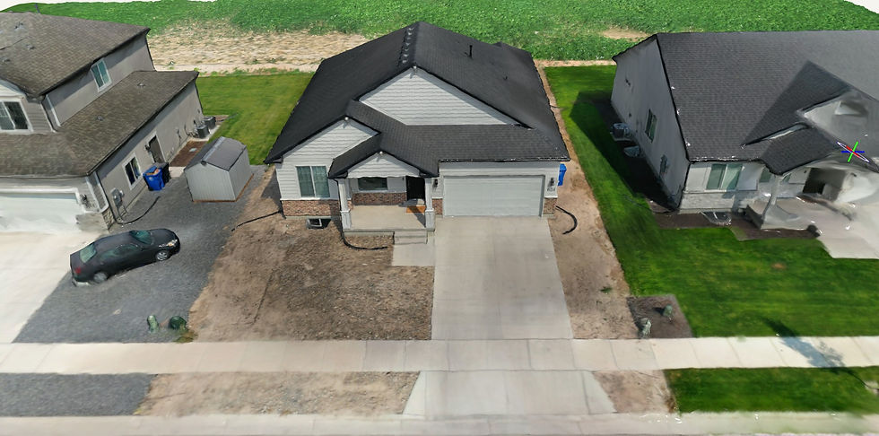
Shademaster Landscape
3D rendering documentation for yard measurements and planning
.jpg)
SECTION COMING SOON
3D Rendering
Transform flat site data into photorealistic 3D models for stakeholder presentations.
Orthomosaics
Generate high-detail 2D maps for precise measurement and site plan verification.
Site Measurements
Calculate distance, area, and elevation across the site using centimeter-level aerial accuracy.
Progress Documentation
Consistent weekly aerial captures providing a reliable chronological record of your project build.
ADD-ONS AVAILABLE
Elevate your project insights with our advanced documentation and visualization upgrades.
360 Degree Walkthrough
Immersive interactive site tours allowing stakeholders to explore progress remotely.
Before/After Comparisons
Visually showcase construction milestones with aligned side-by-side aerial transitions.
Stockpile Measurements
Accurately measure earthwork volumes to monitor inventory and material movement on site.
Aerial Site Overview
Comprehensive wide-angle cinematic updates capturing the full scale and context of your project.
GET A QUOTE
Serving Cache Valley, Logan, Brigham City, Tremonton, and surrounding areas throughout Northern Utah and Southern Idaho. Contact Cache Valley Drone to discuss your next project.