
Cache Valley and Northern Utah Drone Service
Photography, videography, mapping, 3D modeling, and inspections in Northern Utah.


WHY CHOOSE US
THE CACHE VALLEY ADVANTAGE

Precision Data
Utilizing high-resolution multispectral sensors to deliver actionable intelligence and 3D terrain models with centimeter-grade accuracy.

Uncompromising Safety
Strict adherence to FAA Part 107 regulations and rigorous safety protocols, eliminating the risks associated with manual site inspections.

Maximum Efficiency
Rapid deployment and fast turnaround times allow you to survey hundreds of acres or large job sites in a fraction of traditional time.

Expertise in Flight
Deep industry knowledge across agriculture and construction ensures we understand the specific challenges and requirements of your field.
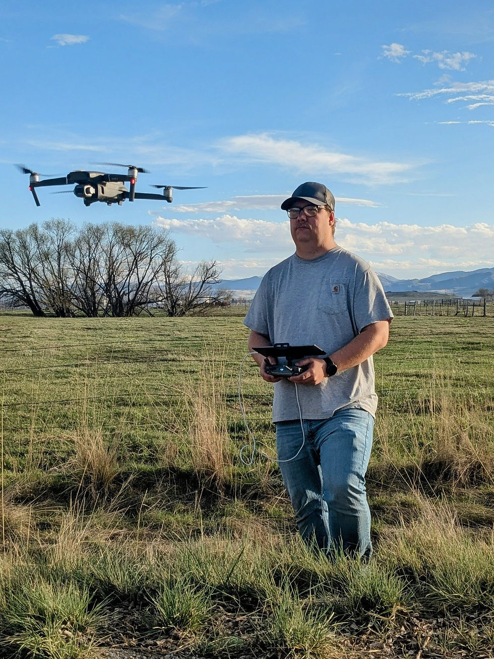
Precision Aerial Solutions
Built on Expertise
Cache Valley Drone delivers premium aerial intelligence and cinematic visuals tailored for Utah's core industries. From precision agriculture mapping to high-end real estate marketing, we combine technical mastery with state-of-the-art technology to provide the data and perspectives your business needs to excel.
LET'S ELEVATE YOUR PERSPECTIVE
Ready to start your next aerial project? Contact Cache Valley Drone to access premium solutions for your industry.
AGRICULTURE • CONSTRUCTION • REAL ESTATE • RANCH MANAGEMENT • CINEMATIC AERIALS • INSPECTIONS • STORM ASSESSMENT •